May 19, 2026
Juvenile Justice Spatial Project
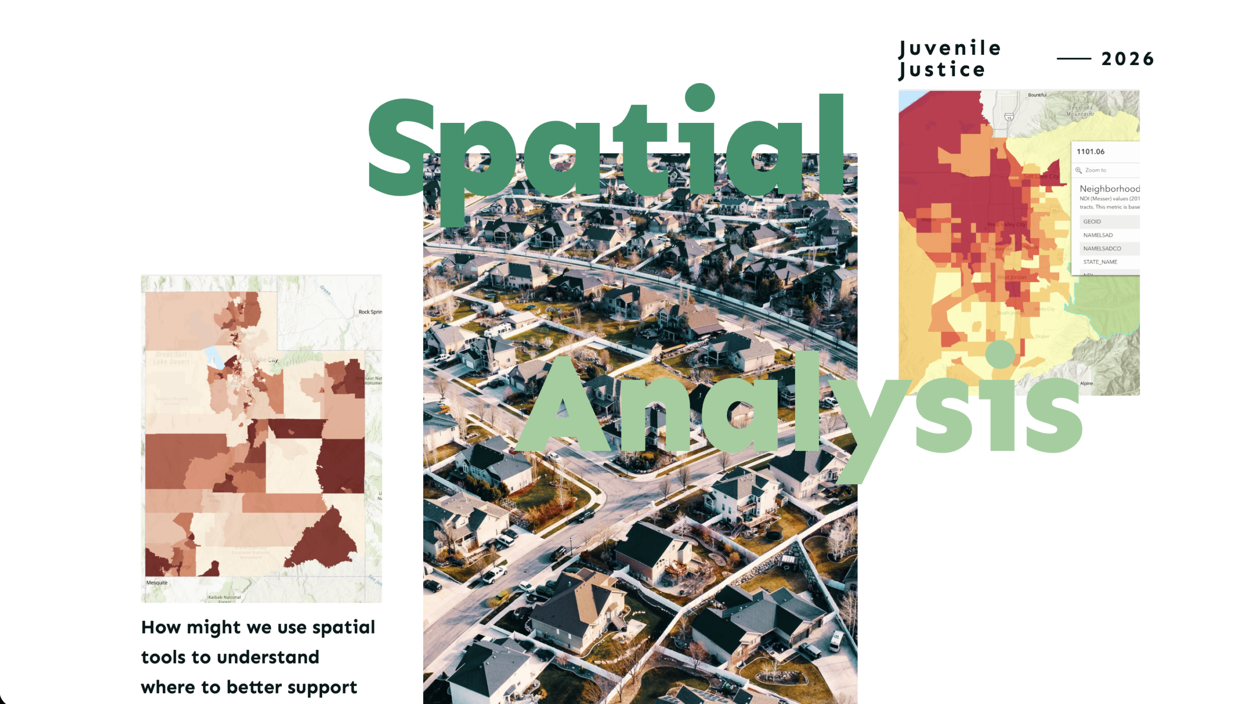
How might we use spatial tools to better understand where to support youth and the challenges they face in their communities? How can we use these tools to work with the communities? We are using geospatial data and analysis tools to build a compass 🧭 for juvenile justice policy. We believe spatial data can be used as a community asset.

January 1, 2026
Research Snapshot: Wasatch Front Spatial Juvenile Justice 2025
Policy zones identify neighborhoods with the greatest opportunity for impact on youth outcomes. We analyzed all 751 Utah neighborhoods and identified the top 100 where strategic investment will help the most young people. These are opportunity neighborhoods – places where coordinated support can significantly improve outcomes for youth, their families, and the communities they live in. 🏘️ See which neighborhoods